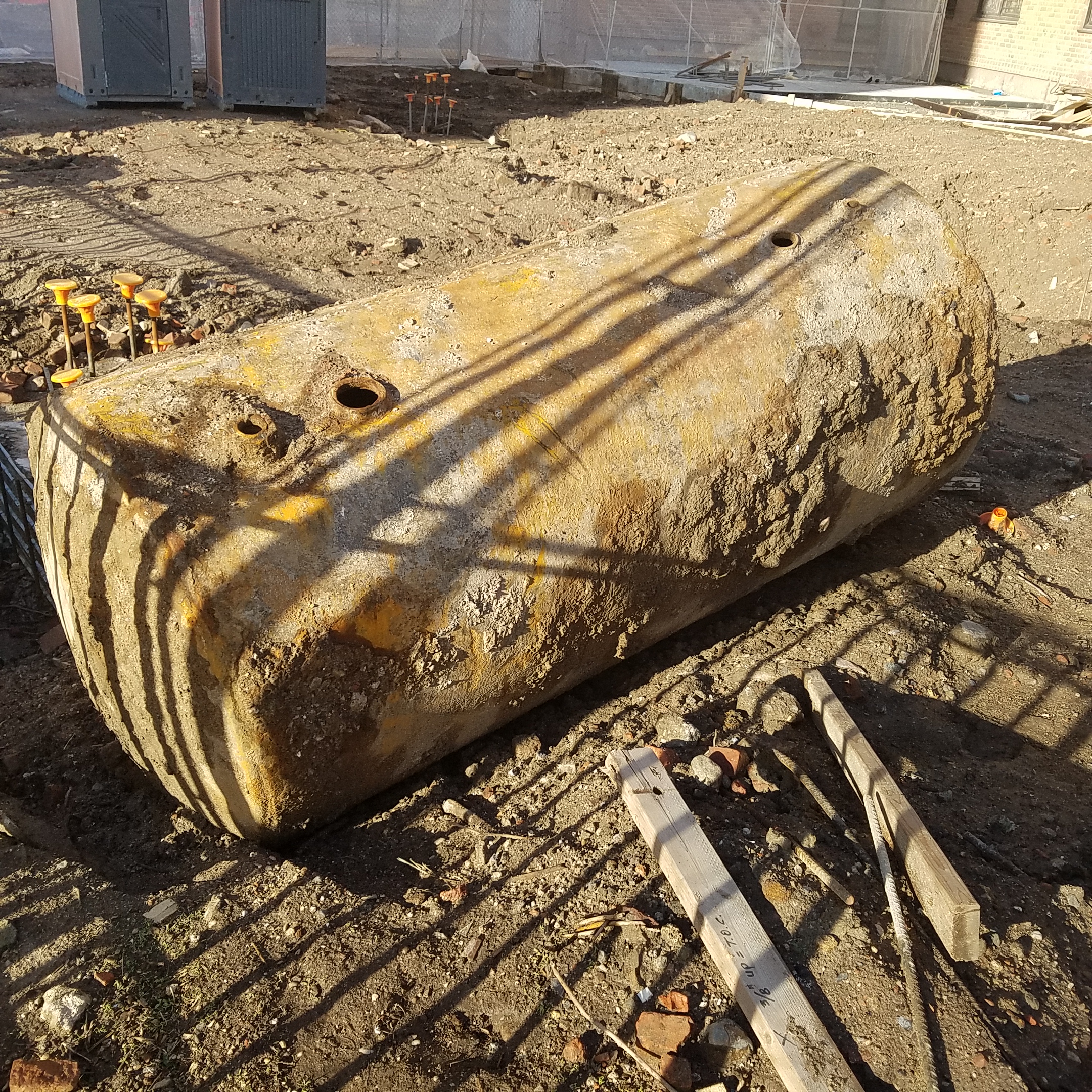
During a geophysical survey for a Phase II environmental site assessment, some underground storage tanks (USTs) were located. The size of the survey area was less than 1/3 of an acre and 7 steel USTs were detected. The ground penetrating radar (GPR) profiles showing these USTs are shown in the following picture.

The first example in the picture (the one at the top left of the picture) is a very good example of using GPR locating USTs. GPR profiles similar to this one are often used by GPR manufactures and GPR service providers to show that GPR is an amazing tool for UST locating. Although this kind of nice profiles could be very impressive, they can create a wrong impression that GPR can always see what's underground really well. Even for people who know that GPR has limited GPR penetrating depth, if you tell them the GPR penetrating depth is about 5 feet, they would not understand why you have a hard time seeing something only 3 feet deep, especially something metallic and as big as an UST.
From the picture we can see that these USTs in GPR profiles look very different from each other, despite the fact that the ground surface was almost uniformly covered by asphalt pavement. Also, GPR penetrating depths at this site are considered very good compared to many GPR-hostile sites in the Tri-State area round New York City. Still, in the GPR profiles collected at this site, some USTs are not as clear as "expected", especially the last one (the one at the bottom right of the picture). There are many reasons why USTs look so different in GPR profiles, even within such a small survey area with seemly universal ground surface materials. First of all, the situations might be different in the first place during UST installations - the overlay/backfill materials might be different. Also, beneath the current surface pavement, there could be older pavement layers, asphalt or concrete; and they are not necessarily uniform. In addition, the soil conditions could change due to underground utility installation, other human activities or natural causes.
Due to complex subsurface conditions and histories, it's generally not realistic to expect to see uniform UST signatures in GPR profiles. In other words, GPR is not an idiot-proof tool for UST locating. Furthermore, if a metal object as big as an UST could be elusive in GPR profiles at a site with generally good GPR penetrating depths, it's not hard to imagine that it could be really difficult to find non-metallic and small objects in a not-so-GPR-friendly site. In general, you should not expect a GPR operator just push the GPR around and see everything underground. At a site with rich history, there will be a lot of GPR anomalies caused by variations of soil contents, variations of water content, rocks, tree roots, past excavations, utilities, etc. It's hard to know what to look for without any targets in mind. Not all interested targets such as USTs, septic tanks, utilities, drums, etc will pop up clearly in GPR profiles.
After all, geophysical surveys are target specific, not method specific. That is, a geophysical survey is designed, and consequently the methods and survey parameters are chosen, based on characteristics of targets (and site conditions). We don't choose a method first regardless of targets and site conditions. Not a single method or tool can find everything. Multiple methods are often used together for detecting underground targets. As a service provider, we don't need you to tell us what to use and even how to use them. Instead, we need you to tell us what kind of targets you are looking for so we can choose proper methods. For example, for UST locating, we generally need to use a suitable metal detector besides GPR. But if you want to look for drums, a simple metal detector used for UST locating maybe not be suitable. A metal detector with better sensitivity or deeper investigation depth might need to be used. For another example, If you have a large site and like to get a general idea what might be underground, electromagnetic mapping is a very efficient method for initial scanning to narrow down your potentially interested areas for further and potentially more productive GPR surveys.
In conclusion, for Phase II environmental site assessment, don't just tell your service provider that you need a GPR survey. GPR has its limitations and very often they are not used alone for detecting subsurface targets. Instead, tell them what you are looking for such as underground utilities, USTs, drums, oil-water separators, septic fields, or in the worse scenario, everything potentially interesting. Sometimes historical documents or plans could be really helpful to provide characteristics and general locations of potentially interested targets. Also, try to be as specific as possible about the site situations, such as ground surface materials, whether the survey areas are interior or exterior, whether there are ground obstacles, etc. Simply ordering a GPR survey without providing intended targets and site conditions might not serve you well. It could be potentially bad for everyone including yourself, your service provider and your client.


